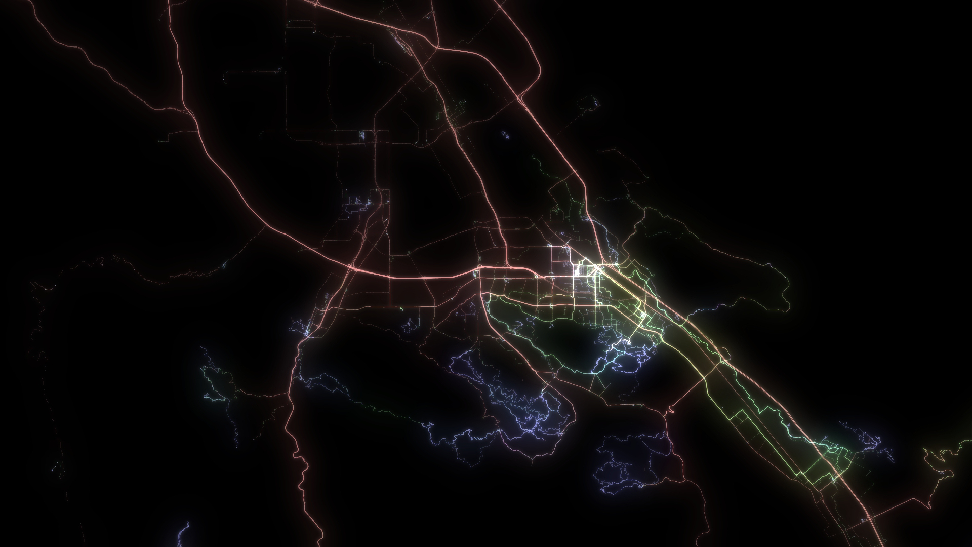
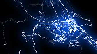
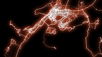
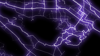
Make pretty pictures from your GPS track logs
I was not able to find any free program that could do this in the way I wanted, so I wrote some Perl scripts that can process GPS track data from files in .GPX format and produce PNG images.
Click on the images on the right for full-scale examples. Then, turn on your audio and check this out (video download: Full HD | Half HD):
IMPORTANT: Make sure you have your audio turned on! Headphones work best.
DOWNLOAD: Full HD | Half HD
To run the scripts you will need a Perl interpreter - if you are running Linux, this is most likely already installed. For Windows, you can install ActivePerl or Strawberry.
The scripts and their options are described in the README.TXT included in the scripts ZIP file.
If you have any problems or questions, just send me an e-mail. Also, if you get some nice images from your GPS tracks, let me know and I'll link to your website. My address is at the bottom of the page.
Other Projects